Circuits from the door
Sector St sits near the top of a hill, at about 60 m, so every ride rolls down first and ends with the climb home. Riley and Tobey's ride is first; the rest run shortest first, with the rides to Toohey Forest and D.M. Henderson Park at the end. Whites Hill stays off the routes, for the koalas.
Bike pathQuiet streetBigger road
Plot a route
Tap the map to plot where you want to go, starting from Sector St. It keeps to quiet streets, parks and water, avoids big intersections, and looks for a way across where those break. Two fingers move this map; open it full screen for one finger.
Who's riding
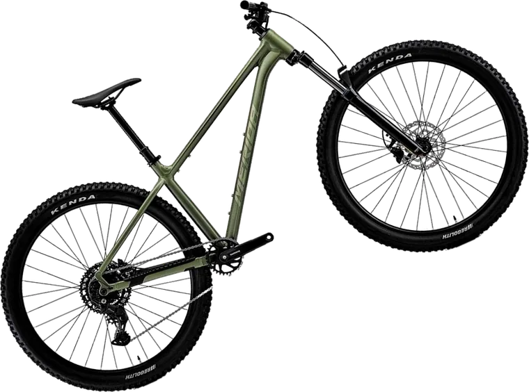
BunMerida Big.Trail 300, M, 9-speed

TobeyTrek Roscoe 7 Gen 4, L, 10-speed

RileyTrek Marlin 4 Gen 3, S, 8-speed
When we can drive there
Our log
Rides done and rides wanted, saved to the site for any device with the link.